Sulina. Danube delta
Distance as Infrastructure
Sulina – Danube Delta, Romania 2017
In November 2017 I travelled to the end of the Danube, where it meets the Black Sea. There lies Sulina, a small port town built on a thin strip of land between river and sea. Since Romania joined the European Union in 2007, it has become a peripheral edge of the EU – geographically inside, logistically distant. Jacopo La Forgia+1
Sulina is reachable only by water. From Tulcea, the regional hub, the route follows the Sulina branch for roughly 71 km, cutting through reeds, lakes, and side channels where everyday mobility depends on small boats and improvised docks. That distance is not just a number – it is a condition: access is scheduled, weather-dependent, and never fully guaranteed.
The town sits inside the Danube Delta, one of Europe’s largest and best-preserved wetlands. Since the early 1990s it has been protected through overlapping designations – Biosphere Reserve (1990), Ramsar site (1991), and UNESCO World Heritage (1991) – recognising a landscape shaped by water movements, reedbeds, and a biodiversity that includes hundreds of bird species and dozens of freshwater fish species.
But Sulina is also an artefact of engineering and trade. In the nineteenth century, after the Crimean War, an international body – the European Commission of the Danube – was created to make the river mouth navigable and to secure shipping. Over decades it dredged, surveyed, and reworked the Sulina mouth and channel, turning this branch into the main maritime gateway from the Black Sea to the interior. Sulina grew into a free port and a cosmopolitan service town, shaped as much by international administration as by local life.
Traces of that period remain in the town’s fragmented architecture and in its cemetery system – an unusually dense record of coexistence. From 1864 onward, the European Commission established a cemetery for different Christian denominations; a Muslim cemetery followed in 1871, and a Jewish cemetery developed nearby, later joined by other community grounds. The ensemble reads like a map of arrivals and departures: sailors and clerks, merchants and families, people who came for work and stayed, and people who left only their names behind.
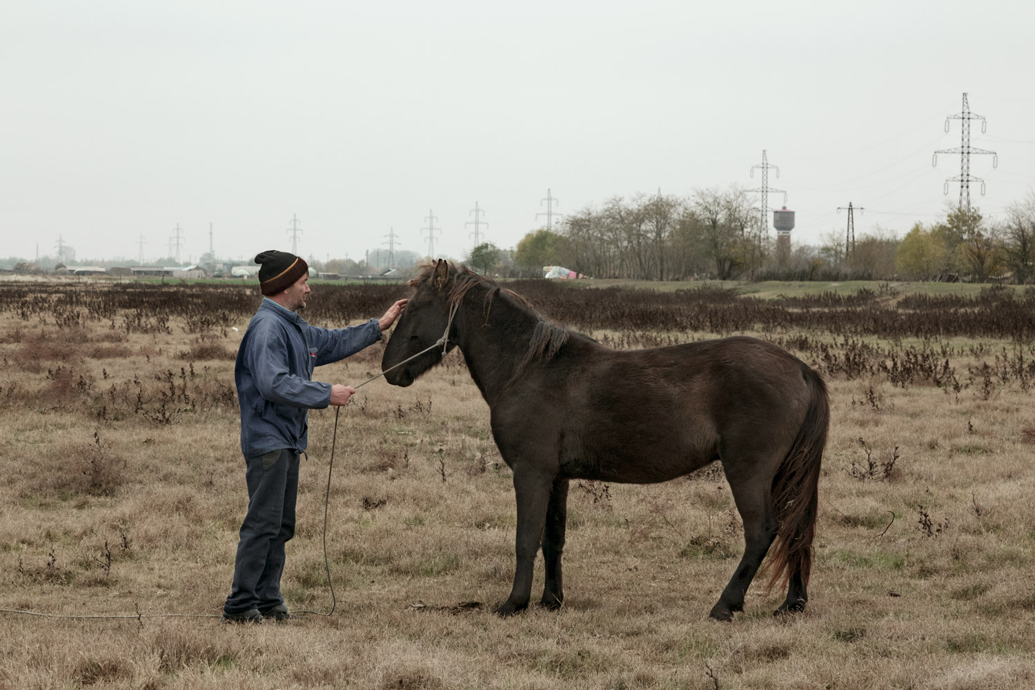
When the Commission’s era ended and political regimes changed, Sulina’s role as a trading hub declined. What remains is a town with the scale of a former port and the rhythm of a remote settlement – fishing, seasonal work, small agriculture, tourism in short bursts, long winters in between. In November, the delta feels less like a postcard and more like infrastructure: wind, mud, waterlines, empty streets, boats pulled onto land, fields prepared for a season that may or may not be kind.
This series follows that in-between condition – Sulina as frontier and afterlife: a place shaped by a river’s end, by international projects that remade geography, and by the slow narrowing of economic possibilities once the routes moved elsewhere. The photographs were made by staying close to daily gestures and ordinary surfaces: the way people move, work, wait, and maintain continuity in a town where the main road is the river.
Click on the images below to see them in full screen.